27 Nov 2015. <GB-ENG> Leicester, & Desford, & Bosworth Battlefield, Leic —
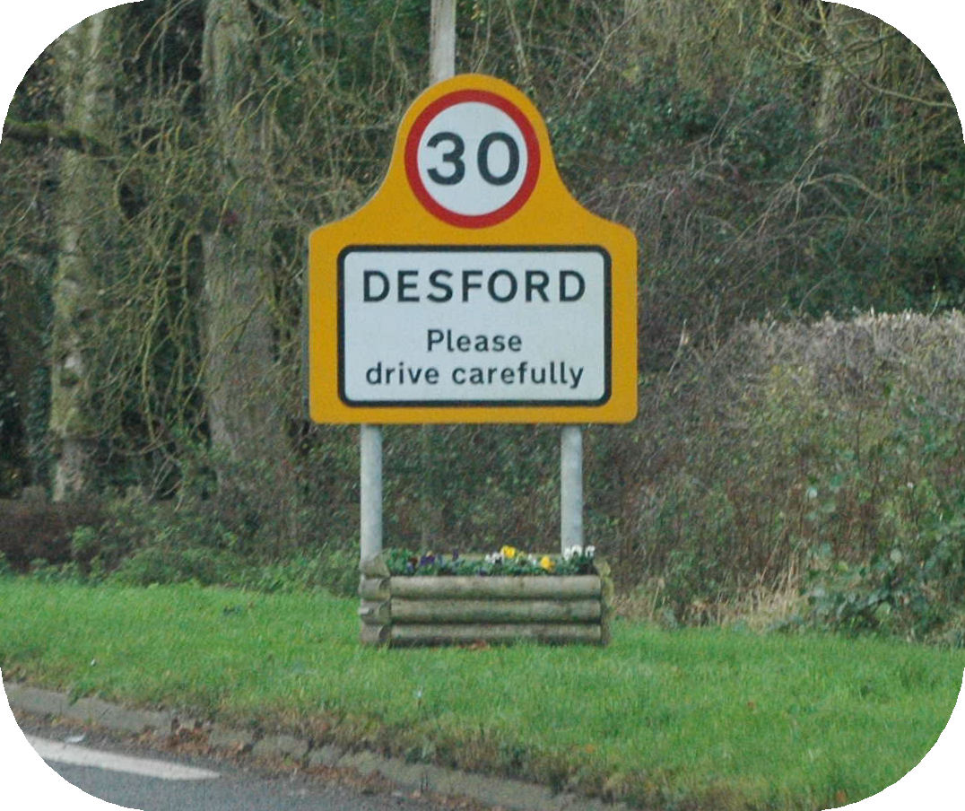
Today began and ended the same way as yesterday, in the Leicester Forest East services. But in between, we drove a short way, out through Desford to
Bosworth Field, the battlefield where the last King of England to die in battle met his grisly end. Here is where
Henry Tudor — subsequently Henry VII of England — defeated
Richard III on August 22, 1485, so bringing the
Wars of the Roses to an end, and beginning the period the Tudors held sway over the country.
On the way into the Heritage Site we stopped in their Tithe Barn restaurant, as we needed a cuppa to keep us going — and we had a chance to read the guidebook before embarking on the site!
The battlefield itself little resembles the ground on that fateful day. Then, it was cleared farmland. Now there are rows of trees and hedgerows, and even the Ambion Wood, interspersed with working farmland. Even the actual location of the battlefield has been controversial for some time, and recent archaeology seems to show that Ambion Hill, where the
Bosworth Heritage Centre is situated, was indeed near the battle, but that it actually took place about 2 miles to the southwest. (Look further down for the description of the latest archaeological findings, as displayed in the Heritage Centre.)

As was ...

... and is now
We walked the Battle of Bosworth Trail. This starts at the top of Ambion Hill, where there is a memorial to those who fought in the Battle, goes northwestwards down the hill, where it meets the Battlefield Railway at its Shenton Station (the end of the line), then cuts southeast across the bottom of the hill, finally turning east and back up past King Dick's Well to the Heritage centre. It's a lovely country walk, and at points around tha way are information posts telling you something about the Battle — the participants, the weaponry, and the stages of the Battle itself.
The main participants were Richard, Henry,
Thomas Lord Stanley,
Sir John Savage and the
Duke of Norfolk, and the insignia or shields of each were displayed at various points along the walk.

Henry Tudor, Earl of Richmond

King Richard III

Thomas, Lord Stanley
We walked through the farm near the station — this is not part of the Heritage site, but is in the hands of a local sheep farmer. It is still very much part of the battlefield however!
There was information about the weapons as we walked away from the station and across the bottom to the hill. Information about the longbow was placed about 200 yards from the white fence of the station — the approximate range of a longbow shot — and information about the artillery about 200 yards further along — the effective range of the small artillery of the time was 400-800 yards. Further on is a description of the part the bill-hook played in the battle, and also of the sword. This last bears a quotation from Shakespeare (bolded below):
Conscience is but a word that cowards use,
Devis'd at first to keep the strong in awe:
Our strong arms be our conscience, swords our law.
March on, join bravely, let us to't pell-mell;
If not to heaven, then hand in hand to hell.
Richard II Act 5 Scene III Bosworth Field
As we turned back towards the Heritage Centre, we walked through Ambion Wood and past King Dick's Well, from which legend has it that Richard's last drink was drawn.
King Dick's Well
This cairn was built by the Reverend Samuel Parr in 1813. It is on the site of a spring which would have once provided water for the medieval village of Ambion, which lies between this spot and the Heritage Centre.
According to local legend King Richard III's last drink was of water from this spring, during heavy fighting in the battle on 22nd August 1485.
The Latin inscription erected by Reverend Parr translates as:
"Richard III, King of England, slaked his thirst with water drawn from this well when engaged in most bitter and furious battle with Henry, Earl of Richmond, and before being deprived of both his life and his sceptre on the morning of 22nd August A.D. 1485."
The monument was extensively refurbished in 1964 by the Fellowship of the White Boar, now known as Richard III Society.
Many of the story boards around the walk had graphic illustrations. Here are two — the point where the unhorsed Richard was dispatched, his battle crown falling to the ground, and after the battle when Richard's naked body was unceremoniously carried on horseback back to the Leicester to be displayed in a church, possibly in the collegiate foundation of the Annunciation of Our Lady, to show his death. Legend has it that Richard's battle crown was found lodged in a hawthorn bush, and brought to Henry, who was crowned king at the top of Crown Hill. Whether the legend is true or not, Henry's badge (not to be confused with his Royal Coat of Arms) has a crown borne by a hawthorn bush. (Note: HR = Henricus Rex; the H and E stands for Henry VII and Elizabeth of York, the founders of the Tudor dynasty.)


(We also found out how some hedgerows are made stronger, by laying and weaving some of the vertical stems horizontally, allowing their side-branches to grow upwards to form the height of the hedge!)
Anyway, after a most pleasant walk, we got back to the Heritage Centre and went into the exhibition area. This is very well set up, and gives the history of what led up to the Battle, the Battle itself (with a well set up animated display of the battle as it progressed), and then the aftermath, and right up into the Tudor period — there was even a photo of Bess of Hardwick's manor, Hardwick Hall, that we visited earlier in our journeyings.


Henry ...
... and Richard
But a most interesting piece of the display was the results of the recent archaeological survey, which finally places the battlefield firmly in the landscape.
1. Henry's advance
We know that Henry's men advanced on Richard's position from Atherstone, possibly travelling up the Fenn Lane.
We know that Richard's artillery opened fire on Henry's advancing mercenaries. 34 lead round shot have been found, spreadon either side of the Fenn Lane, suggesting the location of Henry's approach.
It is likely that some of the easterly round shot were fired by Henry's guns, but where were Richard's guns placed?
2. The marsh
Contemporary accounts tell us that the Earl of Oxford skirted around a marsh with Henry's main army and avoided Richard's artillery fire.
In the later stages of the Battle, King Richard was unhorsed in a marsh and had to fight his enemies on foot.
A complex area of former marshland identified close to the Fenn Lane by Peter Foss, has been investigated. Certain areas were shown to be pre-medieval through radiocarbon dating, but one particular area contained medieval peat. The former weltand around the Fenn Lane is further recorded by field name evidence, such as Fenn Hole, Moorey Leys, Far Fomer and The Plash.
3. The Yorkist rout
We are told in the Song of Lady Bessey that the Duke of Norfolk, who commanded Richard's right flank, was killed next to a windmill.
Peter Foss identified an area to the north of Apple Orchard Farm, previously called Mill Field, as the site of Dadlington Windmill. Records state thsat it was newly built in 1479 and demolished by the 1570s. Apple Orchard still has a pair of mill stones.
The Survey Team recovered a small group of high status finds around the Mill Field area, perhaps indicating hand-to-hand fighting with high status individuals, such as a Duke and his followers.
4. Finding Richard's last stand
We know that Richard charged against Henry and his bodyguard; then Sir William Stanley charged in against Richard. We believe this was a foot charge, so to do this effectively William Stanley must have been close by.
We are told that King Richard's horse became stuck in a marsh and that he fought to the death, surrounded by enemies.
Given that the Richardian boar badge was found next to an area of medieval marsh, along with 15th century military debris, it is compelling to consider that this was where King Richard made his last stand.
We ended our time here in the Tithe Barn, where we warmed ourselves up with a bowl of vegetable soup!

So far we've seen red, yellow and purple berries.
Now for some black!
We left Bosworth Field and drove back through Desford to our stop for the past couple of days, in the service area on the M1 outside Leicester. On the way, we came across the ultimate in 'Tractor factor". A huge tractor and a little car had had a meeting on a narrow country lane. We wonder it doesn't happen more often! It was dark by the time we got there!
Distance driven — today, 29 miles ( 46 km ); to date, 31,145 miles ( 50,123 km )